Professional Aerial Imaging for Smarter Decisions
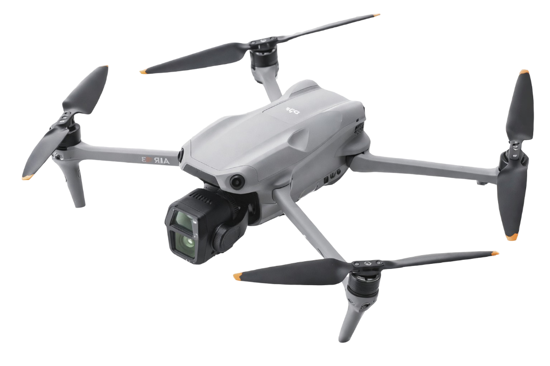
Bluegrass Aerial Imaging provides high-quality drone photography and video for roof inspections, real estate, construction, and commercial properties. We deliver clear, organized aerial visuals that help clients assess conditions, document progress, and showcase properties — all performed by a licensed, insured FAA Part 107 pilot.
Our Services
We specialize in professional drone imaging designed to help clients document, market, and evaluate properties with confidence. Whether you need inspection-grade roof photos, real estate aerials, or construction progress imagery, Bluegrass Aerial Imaging delivers high-resolution results backed by licensed and insured operations. Browse a summary of our services or visit our Services page to learn more.
-
High-resolution aerial photos for roofing assessments, insurance claims, and repair planning.
Includes:
20–40 high-resolution images
Top-down overview
Ridge, hips, valleys, flashing, gutters
Close-up detail shots
Optional PDF report (additional fee)
24–48 hour delivery
-
Professional aerial visuals that make listings stand out and attract more buyers.
Includes:
8–15 edited aerial photos
Property overview
Neighborhood context shots
Front elevation + backyard angles
Optional 10–30 second aerial video
24–48 hour delivery (Photos)
-
Aerial marketing and documentation for commercial developments, retail centers, offices, and industrial properties.
Includes:
High-resolution imagery from multiple angles
Parking lot & access visibility
Roof/structural overview
Adjacent road & traffic context
Ideal for marketing, leasing, and due diligence
-
Consistent aerial documentation for monitoring progress, reporting to stakeholders, and maintaining project records.
Includes:
Pre-planned flight paths
10–25 images from consistent angles each visit
Overview + detail shots
Monthly or biweekly scheduling
Organized image delivery folder
-
Aerial imaging for landowners, developers, and real estate professionals needing clear overhead views.
Includes:
Top-down mapped image
Property boundary overlay (if provided)
Multiple-altitude overviews
High-resolution export
-
The following options are additional services that can be included with other packages ensuring that all your needs are met.
PDF Inspection Report
Polished PDF with labeled images and summary page.
Short Marketing Video
15–45 seconds of aerial clips, edited and stabilized.
Rush Delivery
Prioritized delivery with 24-48 hours of quote.
Neighborhood Aerial Shots
Schools, parks, nearby attractions.
Twilight or Sunrise Shoot
Premium lighting for real estate or commercial listings.
Proudly servicing the Louisville area.
Bluegrass Aerial Imaging is a licensed and insured aerial photography service based in Louisville, Kentucky. We provide high-quality drone imaging for roofing inspections, real estate listings, construction progress, commercial properties, and land overview projects across Kentuckiana.
We combine technical expertise with a commitment to clarity, safety, and professional service on every job.
About
our company

Contact Us
Interested in working together? Fill out some info and we will be in touch shortly. We can’t wait to hear from you!
By submitting this form, you agree to our Terms & Conditions and Privacy Policy.
Request a Quote
Already know what you want? Request a quote and we will get a response in 24 hours.