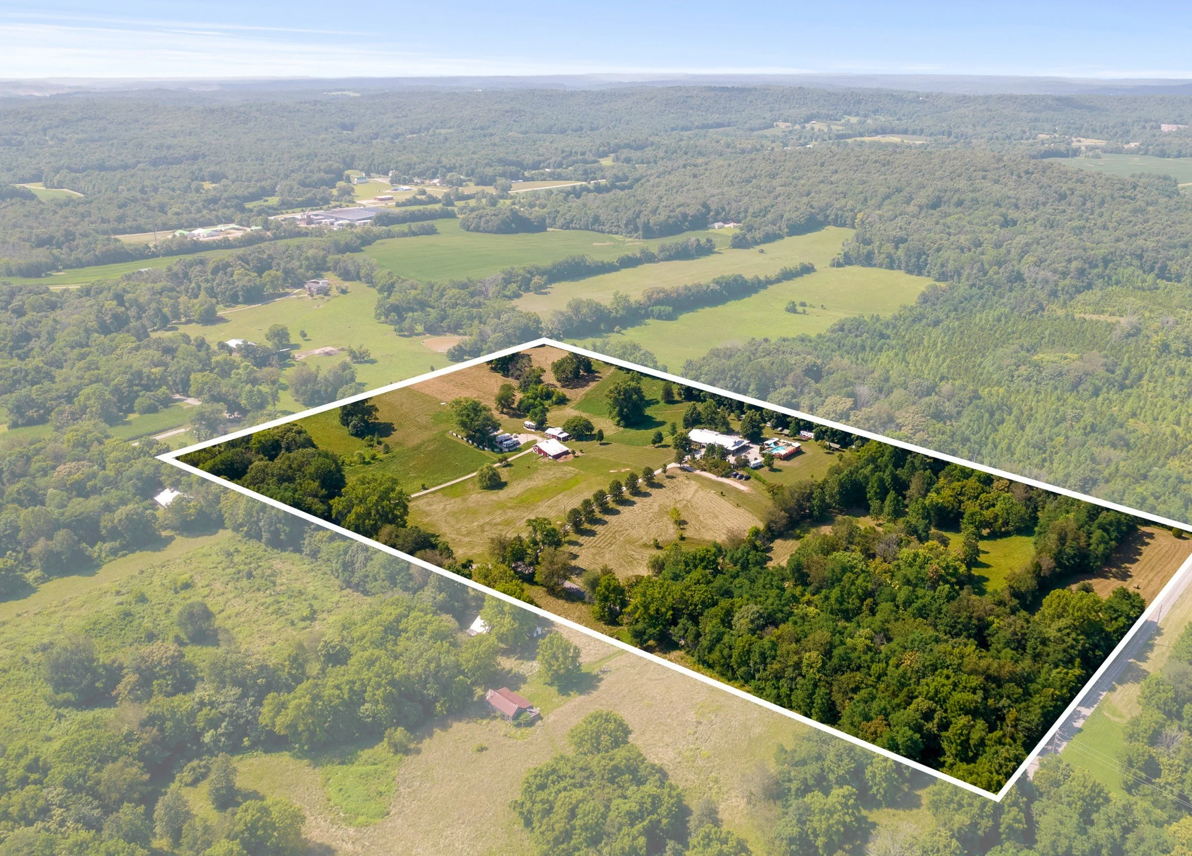
Aerial imaging for landowners, developers, and real estate professionals needing clear overhead views.
Includes:
Top-down mapped image
Property boundary overlay (if provided)
Multiple-altitude overviews
High-resolution export
Best for:
Land listings
Construction planning
Survey prep
Property visibility
Land & Lot Mapping / Overview Imaging
Price: $150-$350
Request Quote
By submitting this form, you agree to our Terms & Conditions and Privacy Policy.